Geography
of Pokuttia
Geography
of Pokuttia

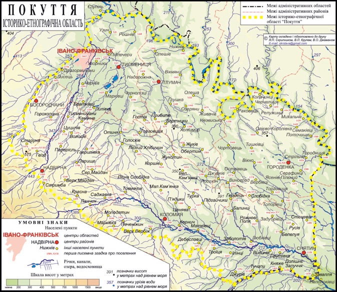
A historical-geographic upland region bounded by the Dnister River and the Podolian Upland to the north, the Prut River and Subcarpathia to the south, the Stanyslaviv Depression to the west, and the Kitsman Depression and the Sovytsia River to the east. Some schemes, like the Krovets map below, have wider margins include parts of Chernivtsi oblast; most, though, consider those latter areas to be a part of Bukovyna.
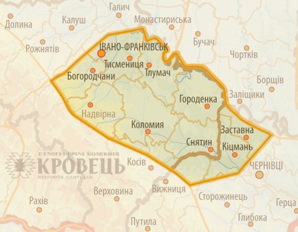
Today Pokuttia is a gently undulating plain sloping to the southeast. To the southwest are the Carpathian foothills. Elevations range from 300 to 350 m above sea level.
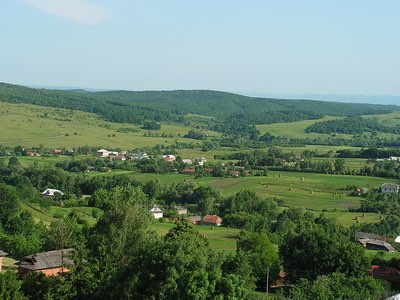
The landscape is divided into a number of alternating rises and shallow basins.
Widespread gypsum deposits account for the abundance of karst features, particularly in the Tlumach-Horodenka Basin. (Karst: landscape underlain by soluble rocks such as limestone, dolomite or gypsum that has been eroded by dissolution, producing ridges, towers, fissures, sinkholes, dolines, caves, karst lakes, disappearing rivers, and bare gypsum cliffs.)
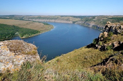
The Dnister region, a narrow (10–15 km) band along the right bank of the Dnister River, has a different landscape. It is as deeply dissected as the opposite bank on the Podillia side, and forms the “Grand Canyon” of the Dnister in the Horodenka area.
In the south the long Kolomyia-Chernivtsi Depression forms a terraced alluvial lowland along the Prut River. In general, the rivers are short, shallow, and deeply incised in the soft, relatively soluble rock.
Geography of Pokuttia
Back to Pokuttia Home
Back to Carpathian Pysanky Home
Back to Regional Pysanky Home
Back to Traditional Pysanky HOME
Search my site with Google